


Insured with Aviation Liability, including Property Damage and Bodily Injury.
Based out of Waupaca, Wisconsin with a second location in Deerbrook, Wisconsin.
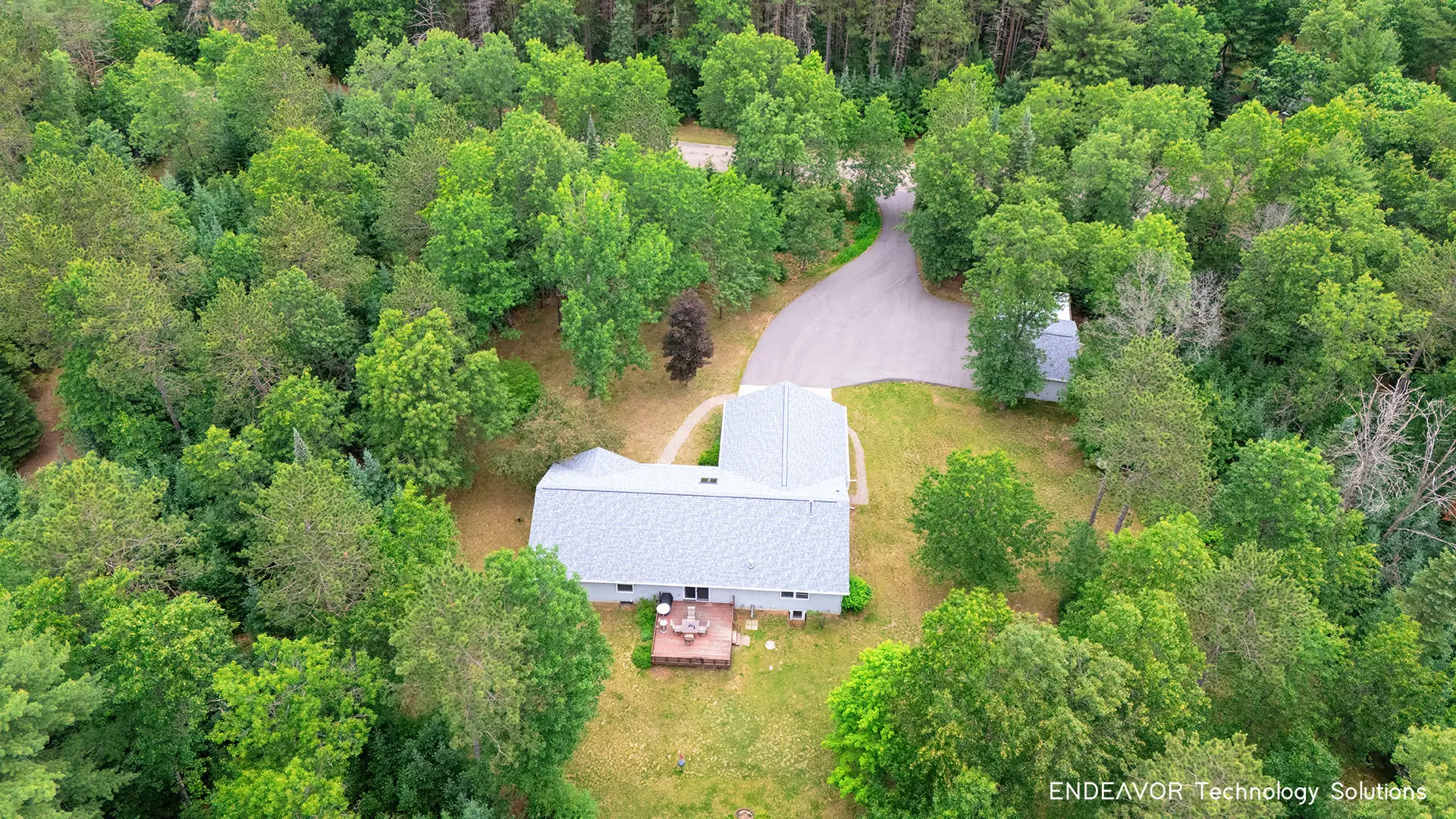
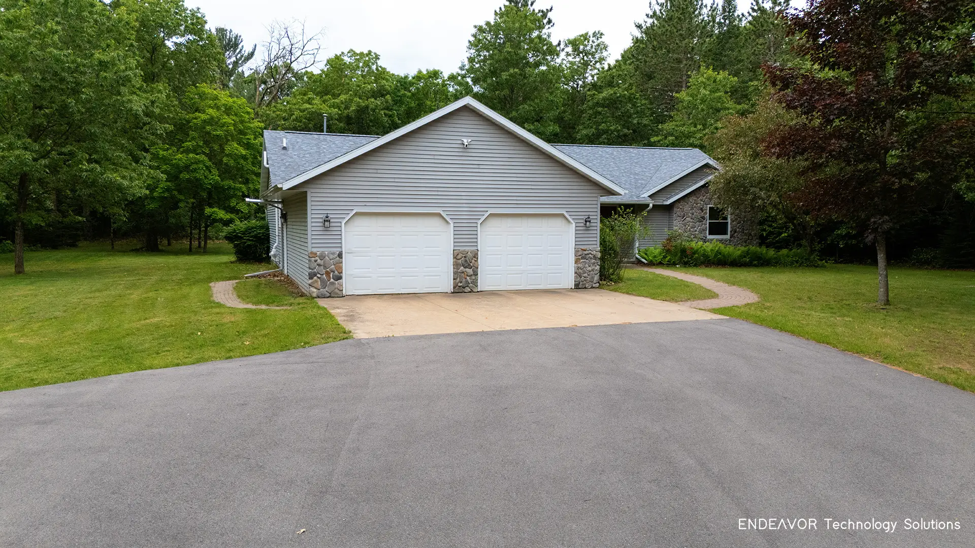
Are you:
A realtor?
listing your property 'for sale by owner'?
listing a rental property on Airbnb, Vrbo or by owner?
A study by the National Association of Realtors revealed:
57% of buyers expect to see a minimum of 8 to 10 aerial shots for most residential properties.
Listings featuring drone aerial photography are 65% more likely to have more in-person showings.
7 in 10 agents acknowledge that videos, virtual staging, and drone photography have become more crucial post-COVID-19.
83% of home sellers prefer to work with real estate agents who utilize drone photography.
97% of home buyers utilize the internet to search for properties and expect high-quality photos, with drone photography being instrumental in capturing stunning imagery.
Request A Quote
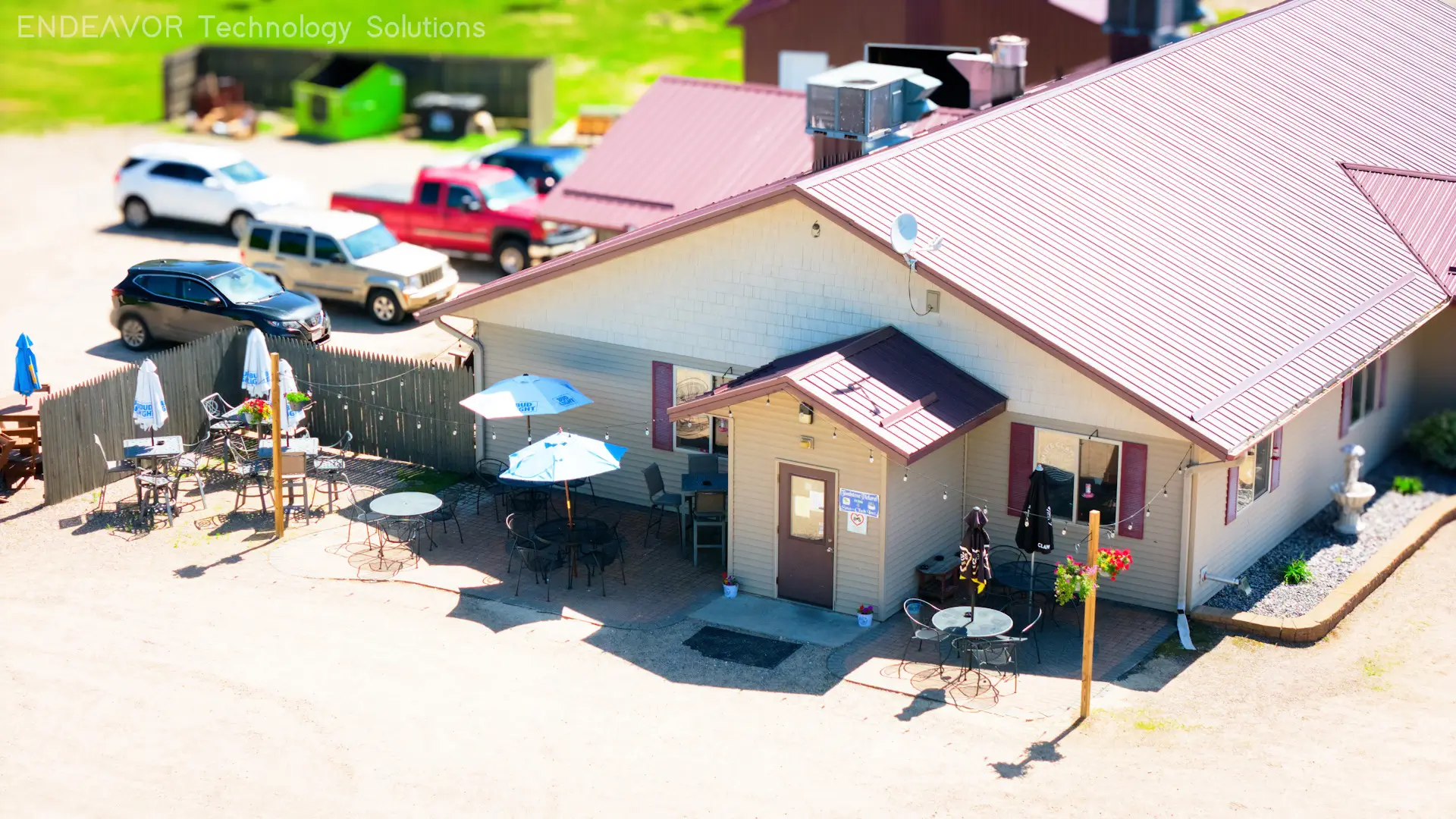
Our aerial photography and videography services are perfect for businesses in need of professional and engaging content for their websites and social media. We can help you showcase your business.
Do you:
Own a restaurant?
Own a bar?
Own a campground?
Own a farm?
Own a shop or boutique?
Own a golf course?
Have outdoor events?
Request A Quote
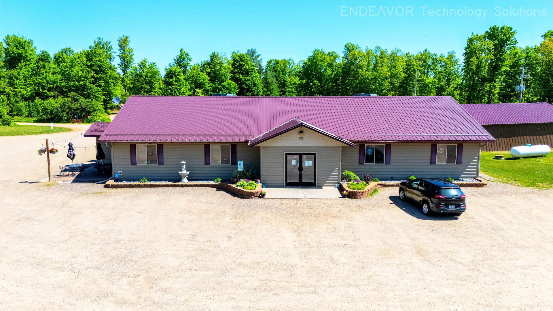
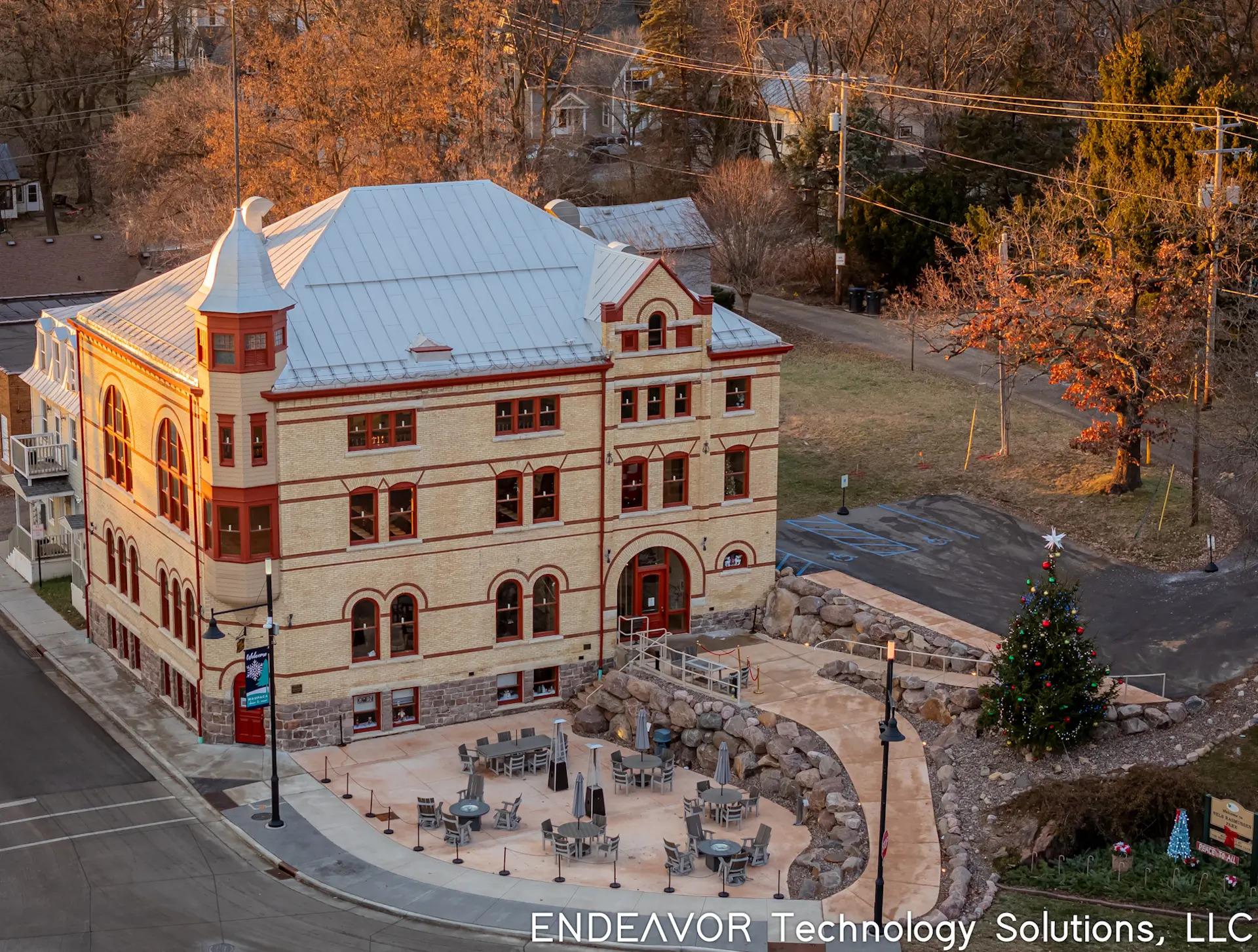
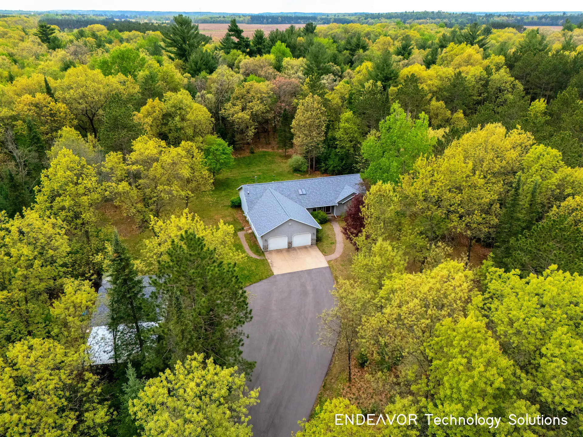
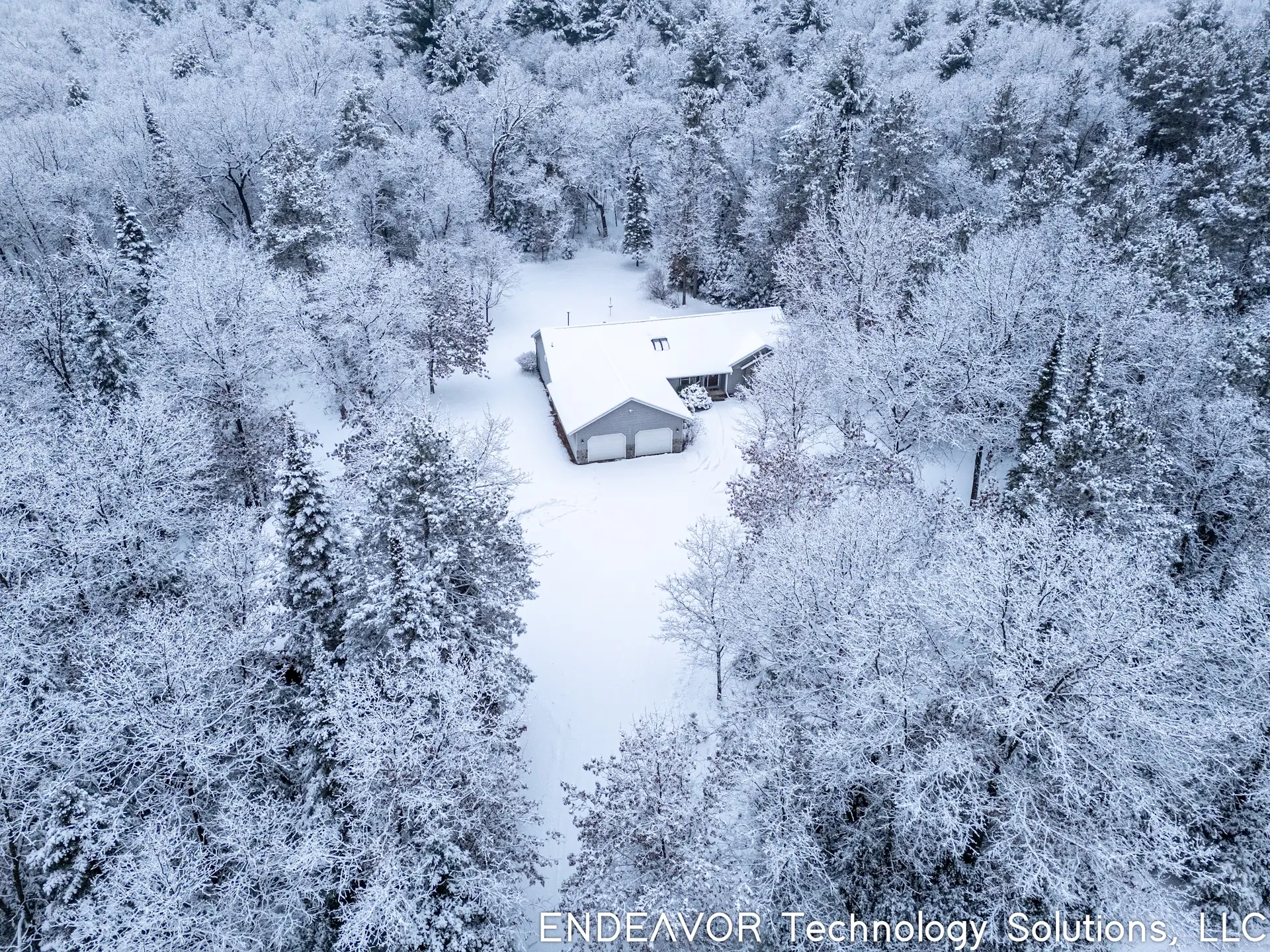
Are you:
A proud land owner looking for aerial photos or videos of your personal property?
A farmer interested in aerial photos or videos of the family farm house and farmland?
A waterfront home owner who would like aerial photos or videos of your water frontage and home?
Request A Quote
Do you work for your community and interested in aerial photos or videos of your community offerings for your website or social media?
City Parks
County Parks
State Parks
Landmarks
Memorials
Request A Quote
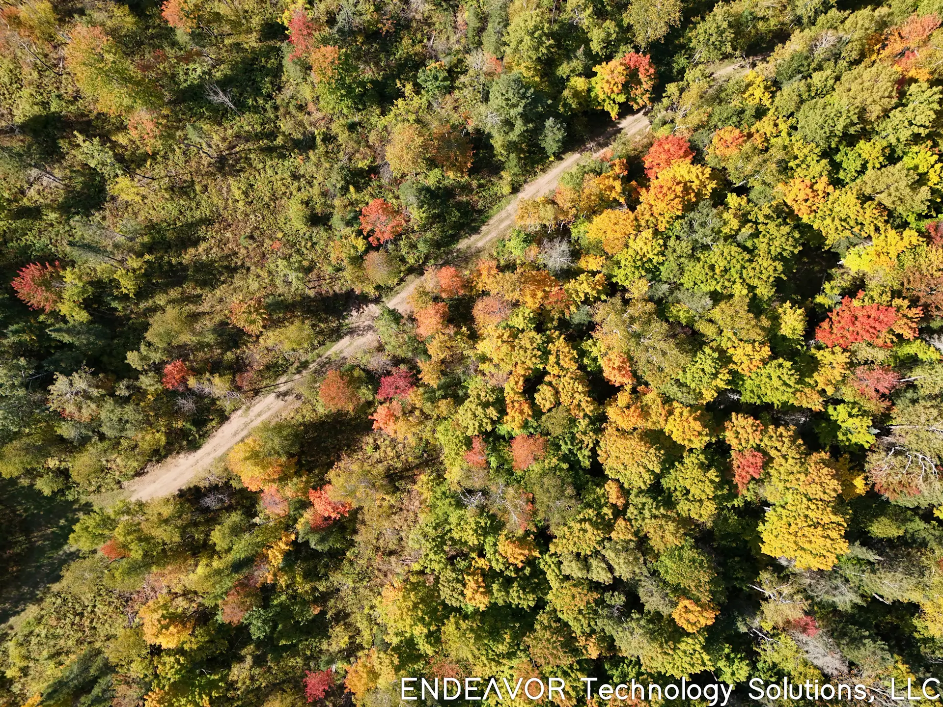
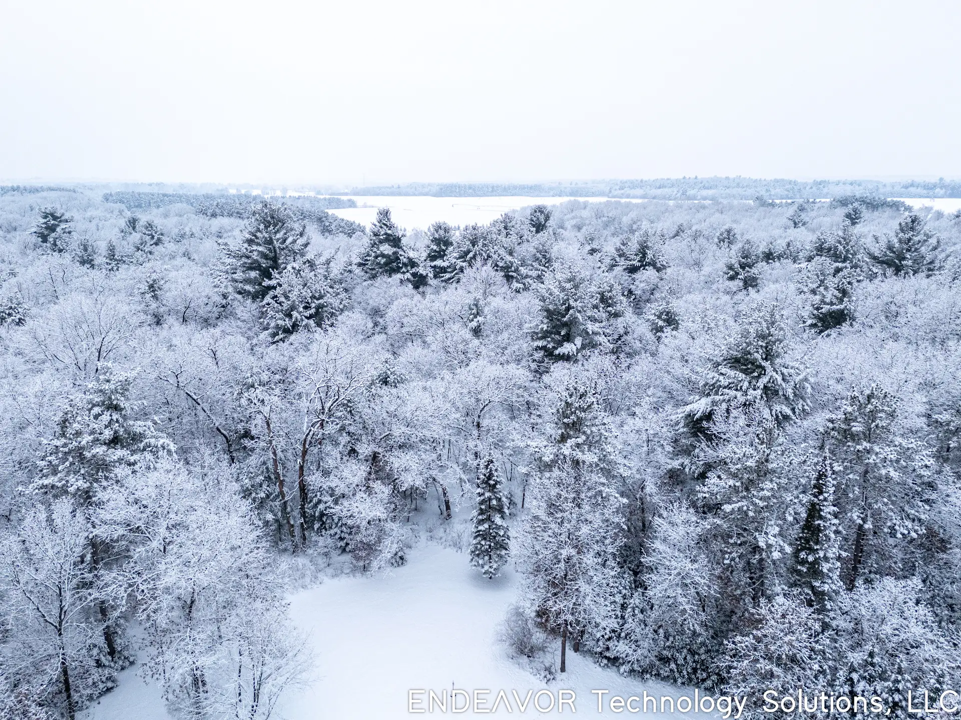
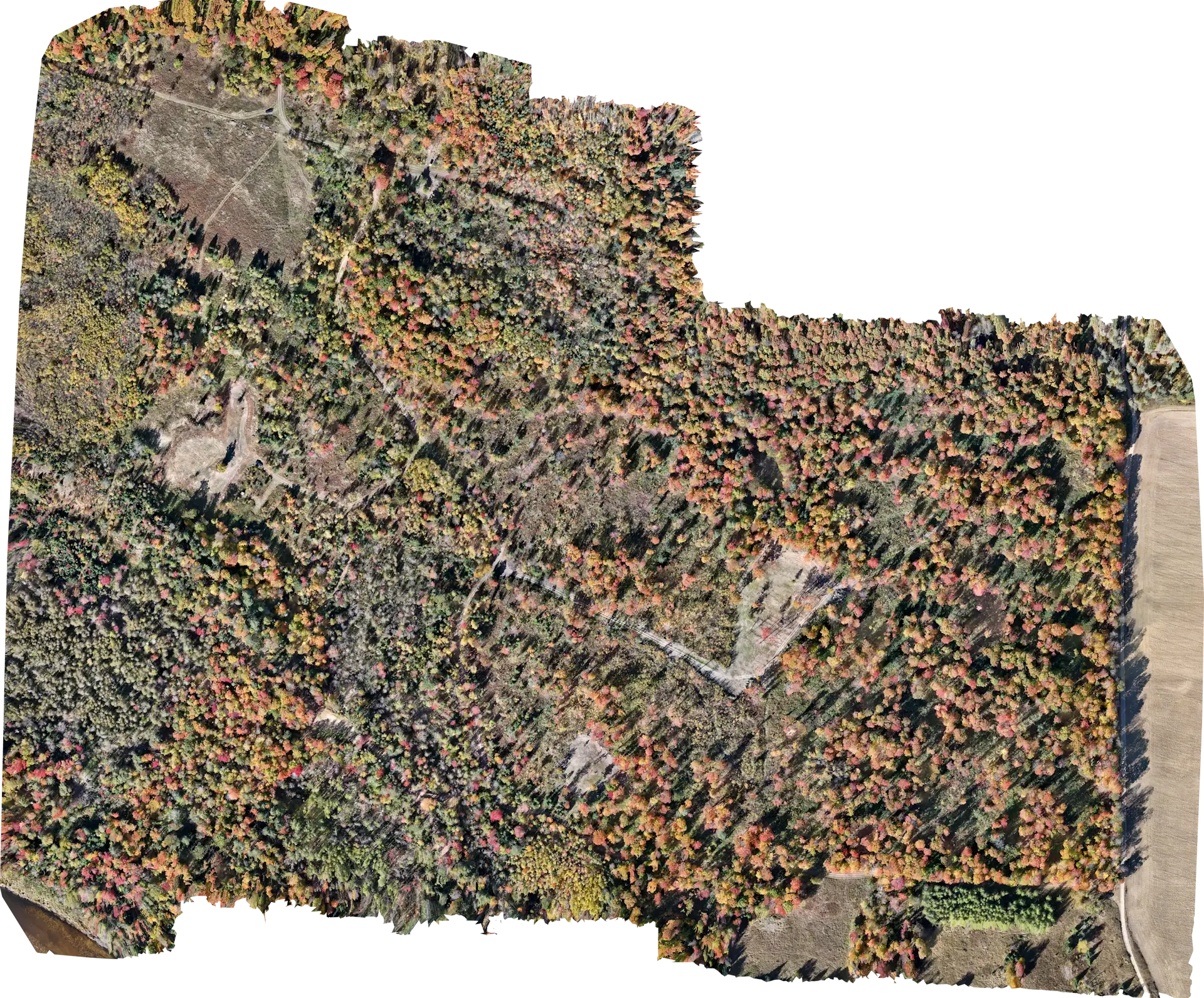
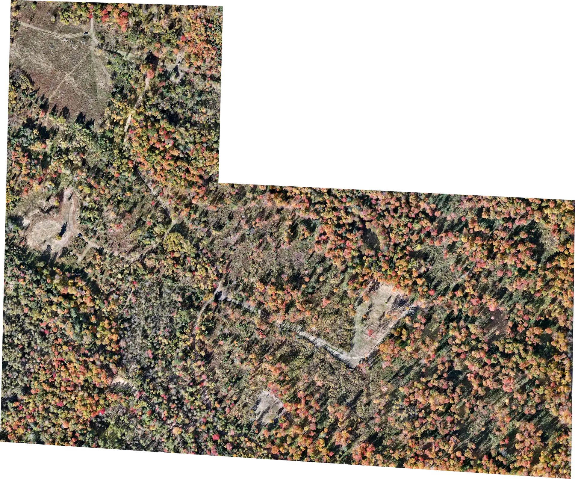
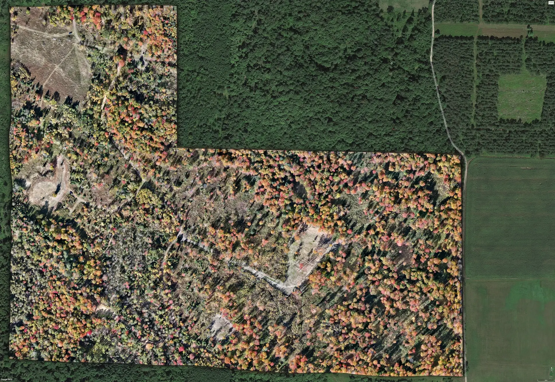
Looking for a map of your hunting land because Google maps and onX Hunt maps are outdated?
Interested in a large scale print on cork board so you can thumb tack where your ladder stands are this year?
Own a campground and interested in a GPS accurate map of the campground?
Own a golf course and interested in a course map or hole-by-hole maps that you can hang in the clubhouse or post on your website?
Own a construction company or work in land development and interested in contruction progress?
This first image example shows the orthomasiac map created using photogrametry, of a 103 acre hunting property. It was 597 aerial photos taken with the drone.
The second image example is the orthomosaic map trimmed to the property lines, which used a SHP file that counties provide to the public of all parcels in the county.
The third image example is the trimmed orthomosiac map overlayed on google maps.
We can also add branding or compass direction to the final image prior to delivery. The final image will be delivered as .jpeg unless a .tiff file is requested.
This example was created in fall when the sun is low in the sky. The ideal time would be overcast summer days between 10am - 2pm when the sun is directly above, to reduce shadows.
This example has also been large scale printed (60"x42") to validate image quality of large scale printing, and can be viewed upon request.
Are you:
A Home Inspector or General Contractor looking for a safer way to complete roof inspections?
An Insurance Investigator in need of roof inspections to confirm storm damage?
A land owner that has high structures or towers you'd like inspected?
Request A Quote